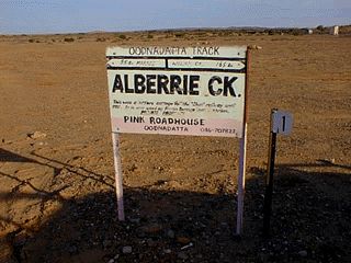
Alberrie Creek
September 27-October
3, 1997
click on images to see
larger versions
Getting there - images of
the Outback
A lot of dusty, flat roads
-- a good portion of the trip to Alberrie Creek was on unpaved
roads (the paved roads are called bitumen,
by the way, not asphalt).
Flying rocks and tire-eating mishaps (tyres to the Aussies) are
part of the experience. For most of our trip, we were on the
"dog side" of the Dog Fence -- a 5,490 km fence that
extends from Ceduna (in western South Australia) to Jimbour
(about 200 km northwest of Brisbane in southern Queensland). This
fence is the world's longest manmade barrier, and is meant to
protect the sheep of southeastern Australia from attacks by
dingoes.
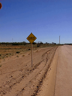
You see a lot of GRID
signs, marking the beginning of someone's pastoral lease. Since
there are sheep stations the size of Kentucky, the only practical
way to delineate boundaries is via signs. After a couple of weeks
in endless open space, you can almost get a sense of the vastness
of the continent. Almost.
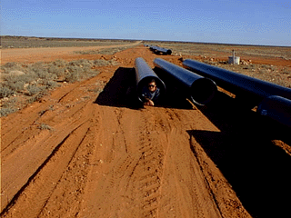
Dan
in one of WMC's pipes, which were all over the side of
the road

|
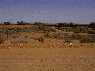
The
Dog Fence

|
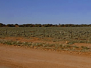
The
Dog Fence

|
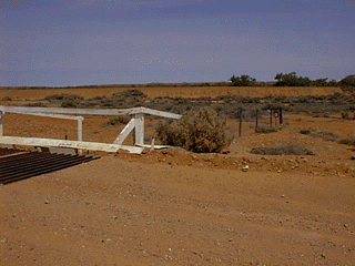
The
Dog Fence

|
Patterson's
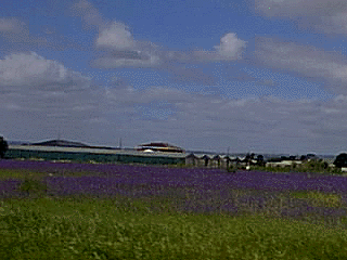
Curse -- a beautiful and ubiquitous purple weed
 |
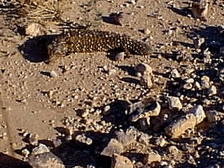
Sleepy lizard, crossing to safety

|
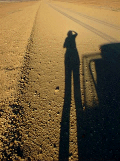
High sun, long shadows

|
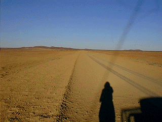
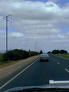
Open space on the Oodnadatta Track

|
Grid signs -- plenty of these

|
The
sign at the camp's entry
 |
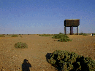
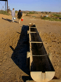
Short walk to the bore;
lonnnng walk back with the water

|
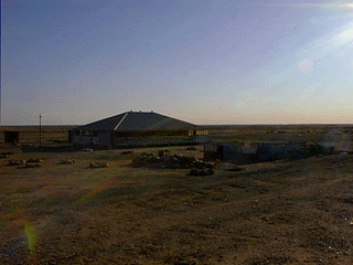
House next to the camp's bore water

|
Water flow....

|
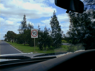
Speed limit signs -- a number in a
red circle

|
Phone
lines -- shaped differently
 |
Return to Waltzing My
Tilde

http://www.page-designs.com